
Enhancing Land-Use Decisions with 3D Mapping: Spotlight on Coolant - Harvard Technology Review
Keeping up with Climate Tech vol. 15
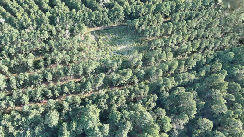
In 2021, California’s Dixie Fire burned more than 963,000 acres across five counties, an area so vast that no team of people could inspect every tree or patch of vegetation on the ground. Satellites could capture the scale of the disaster from above.
But for the people tasked with managing landscapes like these, some of the most important questions require a much closer look: Which trees are damaged or dying? Where is vegetation particularly dense? How...
In 2021, California’s Dixie Fire burned more than 963,000 acres across five counties, an area so vast that no team of people could inspect every tree or patch of vegetation on the ground. Satellites could capture the scale of the disaster from above.
But for the people tasked with managing landscapes like these, some of the most important questions require a much closer look: Which trees are damaged or dying? Where is vegetation particularly dense? How...